

We need to forget about the border.
Forget for a moment the line drawn today between France and Italy, the signs indicating Italy At the Montgenèvre pass, the customs posts disappeared, as did the regional boundaries between Provence-Alpes-Côte d'Azur and Piedmont. Then, one could see the mountains differently.
From BriançonRoads climb towards the Montgenèvre pass and descend naturally towards Cesana Torinese et Oulx. From QueyrasThe Agnel pass opens directly onto the upper Val varaita and Casteldelfino. Further north, the valleys of the Clarée, Bardonecchia and the upper Susa valley seem separated by impressive mineral walls; yet, for centuries, shepherds, merchants, peddlers, soldiers, craftsmen and families crossed these passes as one crosses a neighboring valley today.
In the Middle Ages, all these territories belonged to the same political world: the Le Dauphiné.
And at the heart of these high valleys, a particularly original organization is developing: the Escartons.
The word now evokes a kind of Alpine republic, almost a miniature Switzerland hidden between the Queyras, Briançon, and Piedmont. The image is appealing, but it simplified a much more interesting reality. The Escartons were not an independent state. They were mountain communities enjoying privileges and a very large capacity to organize their local affairs, distribute common burdens and manage their resources in an environment where survival depended as much on cooperation as on the authority of the princes.
En 1343A charter granted by Humbert II, Count of Viennois (and Dauphin), consolidated these liberties. A few years later, in 1349, the Dauphiné was ceded to France. The privileges of the communities were nevertheless maintained and regularly confirmed. The municipal archives of Briançon still preserve the Charter of the Escartons of 1343, as well as letters patent from French sovereigns confirming these rights.
Then in 1713The Treaty of Utrecht abruptly divided this Alpine region in two. Briançon and the Queyras remained French; Oulx, Pragelato, and Casteldelfino came under the authority of the House of Savoy. A political border now bisected a territory that had functioned for centuries as a collection of interdependent valleys.
Three centuries later, this history remains visible everywhere. In the names of the villages. In the fountains decorated with fleurs-de-lis or dolphins. In the bell towers with their stone spires. In the strikingly similar architecture on both sides of the border. In the Occitan language, which continues to be spoken or taught in some Piedmontese valleys. In the monumental forts of Briançon and Mont-Dauphin, built to defend France against Savoy, and later in the fortresses of Exilles and Fenestrelle, erected or reinforced by Savoyard rulers against France. And even in some Piedmontese names that sound strangely French.
To understand the Alpine EscartonsTherefore, it is necessary to traverse a territory that cannot be confined to a single nation.
What is an Escarton?
The term may seem mysterious.
It derives from vocabulary linked to the idea of divisionThe mountain communities were responsible for distributing among themselves the taxes and dues owed to the Dauphin; "escartonner" meant precisely to carry out this distribution. Gradually, the word came to designate both the assembly charged with this operation and the territory it represented.
Expression "Republic of the Escartons"The term, widely used today, must be handled with care. It is not the official name of an independent medieval state. It retrospectively refers to a federative system of communities enjoying exceptional freedoms for the time.
The charter of 1343The treaty, signed by Humbert II and representatives of the valleys, notably confirmed liberation from some feudal obligations, certain personal freedoms, possibilities for collective management, and a relatively autonomous local organization. The Dauphin, however, retained essential powers, particularly in matters of sovereignty and justice: the Escartons thus remained integrated into the Dauphiné and then, after 1349, into the Kingdom of France.
This compromise is perfectly suited to the mountains.
At altitudes of over 1,500 or 2,000 meters, a power based in Grenoble or Paris cannot decide everything. The inhabitants must maintain the roads, repair the bridges after floods, distribute irrigation water, manage the pastures, organize the exploitation of the forests, negotiate the passage of livestock, or plan for the necessary supplies during the winter.
In the Escartons, the community thus becomes a true political and economic unit.
What seems to us today to fall under the jurisdiction of the municipality or inter-municipality was then a vital necessity.
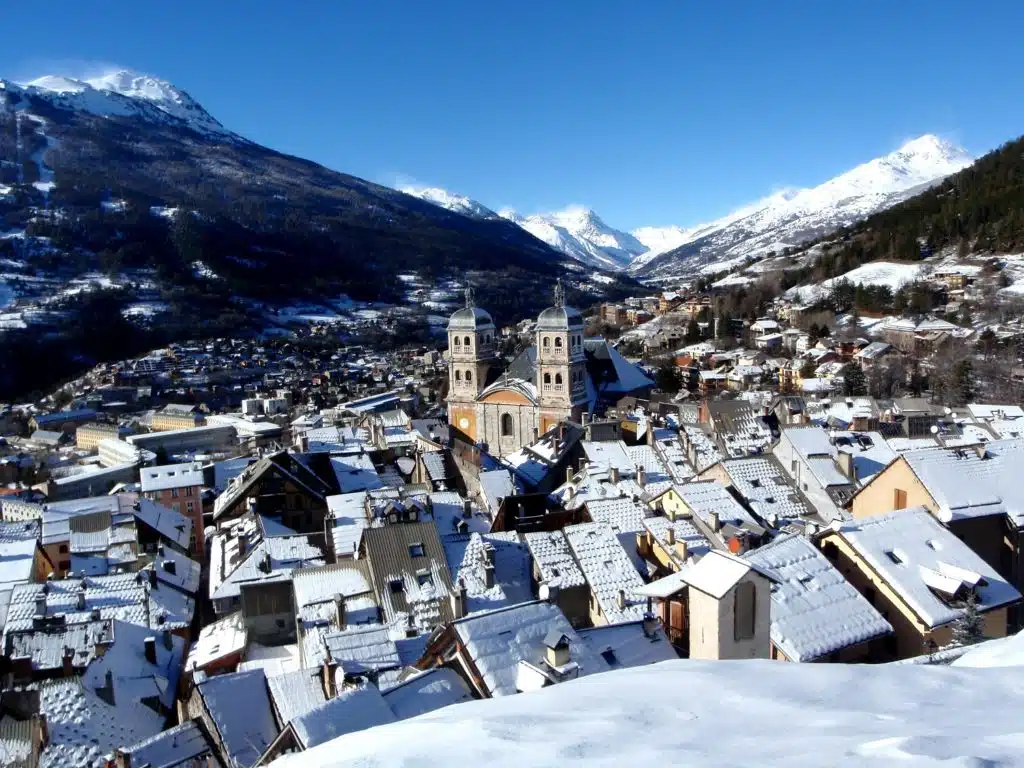
Five Escartons on both sides of the Alps
We traditionally distinguish five large Escartons: Briançon, Queyras, Oulx, Pragelato and CasteldelfinoFrench and Piedmontese tourist and heritage sources still use this interpretation of the territory today.
This geography deserves to be observed slowly because it does not correspond at all to our modern borders.
The Briançon Squadron
It constitutes the western core of the system.
Around Briançon The villages gravitate around the upper Durance valley, with the Guisane leading towards the Lautaret, the Clarée, the Cerveyrette and the Vallouise. They occupy valleys that are deeply alpine but located on several major transport routes.
Briançon is located primarily near the Montgenèvre pass, one of the oldest and easiest passes in the Western Alps. The journey to Italy is almost seamless here. In less than an hour, you leave Briançon, cross the pass at approximately 1,860 meters, pass through Claviere, and descend towards Cesana and Oulx.
Today, a national border separates these places. For centuries, they belonged to the same Dauphiné region.
The Queyras Squadron
Le Queyras has a much more closed geography.
High mountains surround the Guil valley, which is entered through spectacular gorges. Inside, the towns of Arvieux, Château-Queyras, Aiguilles, Molines, Saint-Véran, Abriès and Ristolas follow one another.
But this apparent isolation is deceptive. The inhabitants have long crossed the mountain passes towards Piedmont, notably the Agnel pass, the passes near Mount Viso or other passages now frequented mainly by hikers.
The Guillestrois-Queyras tourist office also recalls the role of the Escarton in the collective management of expenses, road maintenance and concrete issues such as the passage of troops or supplies.
The Oulx Squadron
Italy begins today on the other side of Montgenèvre.
However, Oulx historically belongs to the same Briançonnais region of the Dauphiné. Its position on the axis linking the Rhône valley to the Po plain has made it important since Antiquity. a place of passage major. The inventory of the municipal archives specifically highlights this situation on the transalpine route and preserves documents dating back to the 14th century.
The Escarton of Oulx encompassed a territory that today covers a large part of the upper Susa Valley, notably around Oulx, Bardonecchia, Cesana, Salbertrand, and Sauze d'Oulx. Local sources recall that it comprised numerous communities and shared the same administrative institutions and traditions with Briançon and the other Escartons.
Pragelato and the upper Val Chisone
Further to the south-east, the Escarton de Pragelato occupied the upper Chisone valley.
The landscape is magnificent: a long, high-altitude valley, covered in larch trees, which today slopes down towards Fenestrelle and Pinerolo. For centuries, Pragelato was the center of this territory, and its municipality still explicitly claims this history. It recalls that the valley belonged to the Dauphiné, then to the Escartons community until the Treaty of Utrecht in 1713.
The heritage preserves numerous traces of this era: fleurs-de-lis, Savoy crosses, sundials, traditional architecture, and above all, a linguistic legacy where Occitan and French long coexisted with local customs. In Pragelato, one finds a Escartons House.
Casteldelfino and the upper Val Varaita
Finally, the Squadron of casteldelfino appears almost isolated to the south of the Mont Viso massif.
However, it naturally communicates with the Queyras via the Agnel pass, today one of the highest road passes in the Alps. The Monviso Park recalls that the ancient Escarton extended around Casteldelfino and the neighboring valleys, notably towards Bellino and Pontechianale.
Here again, the contemporary border gives a misleading impression. The French Queyras and the upper Italian Val Varaita were less two opposing worlds than two sides of the same mountain.

The Alps were not a border
This is probably the most important idea for understanding the Escartons. We are used to seeing a mountain range as a boundary. The watershed line naturally seems to become a political border. For Alpine populations, the historical reality was often the opposite.
A ridge could certainly separate two valleys during the winter. But as soon as the warmer weather arrived, the passes became gateways. Herds moved from one slope to the other, merchants sold their goods, families married between neighboring valleys, and workers migrated according to their needs.
The Escartons perfectly illustrate this geography. Briançon looks towards Grenoble, of course, but also towards Oulx. The Queyras connects with the Val Varaita.
The high Piedmont valleys use the same construction techniques, often cultivate the same cereals adapted to the altitude, and organize their resources according to comparable constraints.
Unity, therefore, arises as much from the mountains as from the institutions. The Treaty of Utrecht will profoundly alter this logic.
1713: the Treaty of Utrecht cuts the Escartons in two
At the beginning of the 18th century, the Alps were one of the theaters of the War of the Spanish Succession.
Louis XIV's France faced a coalition in which the Duke of Savoy played a significant role. Alpine valleys became strategically important, and armies moved along the same roads that communities had used for centuries. The town of Pragelato, in particular, recalls that the Duke of Savoy's entry into the coalition against Louis XIV profoundly transformed the region and led to a military strengthening of the Briançonnais area.
En 1713The Treaty of Utrecht redrew the border.
The territories located on the eastern slope — Oulx, Pragelato and Casteldelfino — came under the authority of the House of Savoy. Briançon and the Queyras remained French.
The principle seems simple: to align the political border more closely with the Alpine ridge. But from a human perspective, the rupture is considerable. Valleys that had shared the same institutional space for centuries now belong to two rival states. Roads, customs, kinship networks, and cultures obviously don't disappear overnight. The administrative border changes much faster than societies.
This is precisely why the old world of the Escartons remains so visible in Piedmont today.
Why are French names still found in the high Piedmont valleys?
Arriving in the upper Susa valley sometimes produces a curious impression.
The signs indicate Oulx, Exilles, Salbertrand, Sauze d’OulxFurther on, we find Pragelato, Fenestrelle, and Cesana. Some names seem French, others Italian (or Italianized in the 20th century), and still others belong to a vocabulary that seems difficult to classify, such as claviere ou Sestriere.
However, it would be too simplistic to say that all of this toponymy is "French".
Linguistic history is richer.
The people of these valleys have long spoken of the varieties Occitan — and in certain Franco-Provençal areas — while French frequently served a written, administrative, religious, or cultural function. Research supported by the Piedmont Region on linguistic minorities clearly demonstrates this coexistence of several codes, with different uses depending on the context.
In Pragelato, the municipality itself emphasizes that Occitan remains at the heart of local identity and many signs recall the old links with the Dauphiné and France.
This history explains the persistence of toponymic forms that do not simply correspond to modern Italianization.
For several centuries, administrative acts were produced within a Dauphiné and then French political environment. After 1713, the transition to Savoyard rule did not immediately erase these practices.
The Piedmont Region has also funded programs in the upper Susa valley that explicitly focus on a Italian-Occitan-Franco-Provençal-French toponymyevidence of the historical overlap of several linguistic traditions.
The best way to understand these names is therefore to consider them as layers of history.
Occitan by their local heritage. French by several centuries of administration and written culture. Italian by the subsequent political evolution of Piedmont and then by the unification of Italy.
The border has changed, but the names have retained the memory of what existed before.
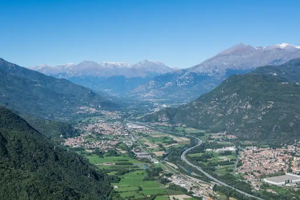
An Occitan territory as much as French or Italian
This dimension is essential.
The Escartons are neither a forgotten piece of France in Italy, nor a purely Italian curiosity: their traditional culture largely belongs to the world Alpine Occitan.
Occitan, or langue d'oc, is still valued in several Piedmontese valleys. The Oulx tourist office emphasizes its role in the shared identity of the former Escartons, alongside architecture, traditions, and certain symbols.
Music, dance, stories, agricultural vocabulary and place names circulate on both sides of the border. In these mountains, one can thus be historically from the Dauphiné, become a subject of the Duke of Savoy in 1713, then Piedmontese and Italian, while speaking an Occitan variety and using French for certain written purposes.
Our modern national categories are often too simple to tell the story of the mountains.
The architecture of the Escartons, a culture visible in stone
You only need to walk through the villages to find a certain unity.
The houses must meet the same constraints: high altitude, long winters, the need to store large quantities of hay, livestock farming, lack of agricultural land and variable abundance of wood or stone.
The volumes are compact. The buildings frequently combine living spaces, stables and storage under the same roof or in very close proximity.
In the Queyras, the large wooden balconies and the famous houses with fustes give certain villages an immediately recognizable silhouette. In the upper Susa Valley and the Chisone Valley, the materials and details change, but the general organization responds to comparable concerns.
The fountains also occupy a central place.
They provide water, structure the hamlets and sometimes become decorative supports. In Pragelato, several retain fleurs-de-lis or Savoy crosses, veritable pages of history sculpted in stone.
Sundials are another striking feature of these valleys. The abundant sunshine of the Southern Alps transforms the facades into clocks, often decorated with religious motifs, mottos, or symbols.
Communities where knowing how to read had a particular value
One of the most frequently mentioned aspects in the history of the Escartons is the relatively high level of education of certain Alpine communities.
It would be an exaggeration to portray it as a fully literate society at a time when rural Europe was not. However, community organization, account management, trade, and the need to produce written documents fostered the development of particularly structured administrative practices.
In these valleys, municipal archives are important. The case of Oulx is remarkable: the town's historical archive preserves several centuries of documents, including a collection of parchments dating back to the 14th century. In Briançon, the Great Charter itself can be consulted in the municipal archives. This connection to documents also explains why the memory of the Escartons has been able to endure through the centuries with such strength.
A border that is becoming covered in fortresses
The political separation of 1713 did not just create a border on maps.
It transforms the landscape. Kingdoms now know that Alpine passes can open the way for an enemy army. They fortify the valleys. And the Escartons become one of the territories where European military architecture is most spectacularly displayed.
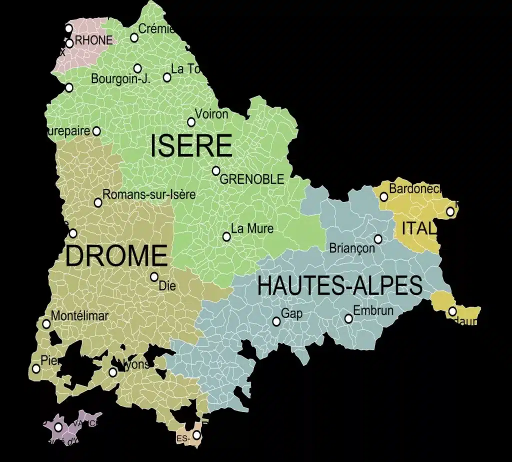
Briançon, the French gateway to the Alps
Briançon already had an important defensive function before Vauban.
But the wars of the late 17th century revealed the vulnerability of the border. The city was heavily fortified according to the principles of Vauban, then complemented by an extraordinary set of forts built on the surrounding heights.
Today, these fortifications constitute one of the Vauban complexes listed as a UNESCO World Heritage Site.
But behind their beauty lies a simple logic: preventing an army coming from Piedmont and Savoy from descending towards FranceThe mountains that the Escartons had learned to cross then became military lines.
Mont-Dauphin, a fortress facing the Alpine passes
More to the south, Mont Dauphin responds to the same concern.
In 1692, after an offensive by the Duke of Savoy in the French Alps, Vauban chose a spectacular plateau overlooking the valleys of the Guil and the Durance to build a new stronghold.
The Centre des monuments nationaux still presents Mont-Dauphin as a defensive complex created in 1692 to secure the Alpine border.
From the ramparts, the landscape is immense:
- The Queyras opens towards the east.
- The Durance flows south.
- The citadel seems to be watching over all the roads.
Military architecture here embodies the new obsession of modern states: control the mountain.
Exiles, the fort that changed sides
On the other side of the current border, the fort of Exilles It perhaps tells the story of the mobility of this border better than any other. Located in a spectacular constriction of the Susa valley, it has controlled the road linking Montgenèvre to Turin for centuries.
The fortress initially belonged to the Dauphiné system and later to the French system. The fort's official website recalls its transfer to French control in 1349 and the numerous conflicts with the House of Savoy.
Then everything changes.
At the beginning of the 18th century, Savoy definitively took possession of the site, and the Treaty of Utrecht formalized its integration into the new Savoyard territory. Military engineers from Turin then undertook extensive renovations of the fortress.
The most fascinating aspect is almost symbolic: the defenses change orientation.
The fort, once turned against Savoy, must now defend Piedmont against France. The very stone has changed sides!
Fenestrelle, immense lock of Val Chisone
Further down in the Chisone valley, Windows belongs to the same military landscape.
After the valley fell under Savoyard rule, the rulers of Turin massively reinforced the defenses of this new western border. The Fenestrelle fortress gradually became a gigantic military system clinging to the mountainside, designed in particular to control access to Pinerolo and the Piedmont plain.
With Briançon, Mont-Dauphin and Exilles, it allows us to read a true geography of mistrust.
Each state watches the other across the mountain passes. Each valley has its own lock.
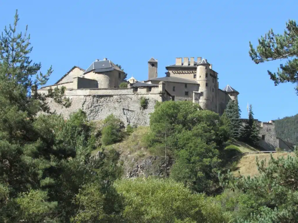
Château-Queyras, protecting the Guil valley
In the Queyras, Chateau-Queyras It has long occupied a strategic spur overlooking the Guil. The medieval castle was gradually adapted for artillery and then remodeled in the modern era.
Its massive silhouette is a reminder that the Queyras valley was not only an autonomous agricultural valley: it also constituted a potential access point to France from Piedmont.
The Escartons therefore live in a permanent paradox: their culture is based on exchanges across the mountain, but their states build forts to prevent these same passages.
Museums where you can understand the spirit of the Escartons
Today, this history is not only discovered in archives or fortresses. Several places allow us to rediscover the daily life, languages and skills of this ancient territory.
The Briançon Municipal Archives
It is not a museum in the classical sense, but probably the most important place for anyone wishing to directly approach the history of the Escartons.
The Briançon Municipal Archives They preserve the Charter of 1343, letters patent from the kings of France confirming privileges, a 16th-century land register, and other important documents. They are accessible to the public according to the procedures indicated by the city.
Seeing these scrolls allows us to leave the myth behind.
The Escartons suddenly become a real administration, with its accounts, its rights, its signatures and its obligations.
The Casa degli Escartons of Pragelato
À Pragelato, the Casa degli Escartons “Alex Berton” constitutes one of the places most directly dedicated to this memory.
It has an exhibition space, a large library dedicated to the region, archives, and audiovisual materials presenting the historical and cultural reality of the Escartons. The Cottian Alps Parks also use it as a venue for meetings and events.
Nearby, the Museo del Costume et delle Traditions delle Genti Alpine It allows visitors to discover the costumes, practices and traditions of this high valley. The two establishments regularly participate in joint events.
The Colombano Romean Ecomuseum in Salbertrand
À Salbertrand, the Ecomuseo Colombano Romean is particularly interesting because it focuses less on institutions and more on everyday life.
The route focuses on mountain work, mills, communal ovens, fountains, religious buildings, and the techniques that enabled life in this high valley. It is named after Colombano Romean, a miner and stonemason who created the spectacular pertussis, a gallery of about five hundred meters dug at altitude to transfer water from one slope to the other.
This place is perhaps the one that best allows us to understand what the autonomy of communities meant in concrete terms.
Managing an alpine territory was not about abstractly debating politics: it was about deciding where to route the water, who maintained the mill, how to distribute the wood, when to use the oven, and who would repair the road after winter.
A living heritage rather than a frozen memory
The memory of the Escartons now serves as a basis for numerous cross-border initiatives.
In Piedmont, cultural programs still bring people together Occitan, Franco-Provençal and FrenchIn 2025 and 2026, the Cottian Alps Parks and their partners will continue events dedicated to Alpine languages and cultures.
The valleys have therefore, in a way, returned to their former way of functioning: the border exists politically, but the natural parks cooperate, the associations work together, and hikers freely cross the passes.
The inhabitants of Queyras thus descend towards the Val Varaita while the Piedmontese ascend towards Montgenèvre or Briançon. Contemporary Europe has restored to these mountains some of the fluidity they had lost with modern military borders.
How to discover the Escartons territory today?
There is obviously no single path. To understand the territory, one must accept that cross the border several times.
A first loop can start from Briançon, reach Montgenèvre, descend towards Oulx, visit Salbertrand and Exilles before reaching Pragelato via Sestriere.
Another one begins in the Queyras, crosses Molines and Saint-Véran, passes over the Agnel pass when it is open, then descends towards Pontechianale and Casteldelfino.
These routes are primarily used in summer, especially when crossing high mountain passes. The Agnel Pass, in particular, is closed for much of the year due to snow.
To truly experience the landscape, you must also walk. The ancient paths connecting the valleys reveal far better than modern roads just how heavily the mountains were traversed. A climb to a mountain pass quickly transforms your perception of the landscape. From below, the ridge seems impassable. From above, you suddenly discover the neighboring valley.
That's exactly how the Escartons operated.
When to come?
From June to SeptemberThe high mountain passes and most of the cross-border trails are accessible, snow conditions permitting. This is the best season to physically connect the different Escartons and understand their geography.
Autumn is extraordinary in the Queyras, the Briançonnais and the Piedmont valleys when the larches turn golden, but some passes can close quickly after the first snows.
Winter offers another perspective. The valley floor roads remain accessible, Briançon, Oulx, Pragelato or Salbertrand can be visited, but the historic high-altitude passes are once again becoming what they were for centuries: mountains difficult to cross.
And it is perhaps during this season that we best understand why communities needed such a strong organization.
Photo credit:
ValSusa panoramica: Isiwal/Wikimedia Commons/CC BY-SA 4.0, CC BY-SA 4.0 , via Wikimedia Commons // https://upload.wikimedia.org/wikipedia/commons/e/e7/Susa_valley_from_Sacra_di_San_Michele.jpg?utm_source=commons.wikimedia.org&utm_campaign=index&utm_content=original

You might also be interested in these articles:
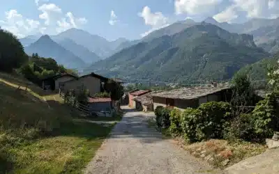
From the Écrins mountains to Piedmont, following in the footsteps of the Waldensians, reformers of the Alps
Trace the journey of the Waldensians, a reformed religious community, through the Alps between Hautes-Alpes and Piedmont, between history, heritage and unmissable landscapes.
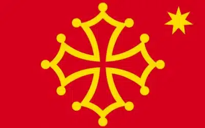
Why are there Occitan Valleys in Piedmont, Italy?
Discover the Occitan Valleys in the Piedmont Alps. Where culture transcends time and borders, enriching your travels or hikes.
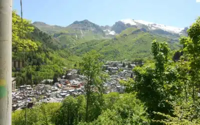
What to see in the 12 Occitan Valleys of the Italian Alps?
Discover the 12 Occitan valleys of Piedmont: villages, landscapes, heritage and traditions of an Alpine culture that transcends borders.
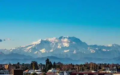
Around Monte Rosa, the land of the Walser
Discover the history and Walser heritage in the valleys around Monte Rosa. Between Valais, Aosta Valley and Piedmont, a common thread unites these highlands at the foot of the glaciers.

What to do at Lake Orta, a romantic gem near Lake Maggiore?
What to do at Lake Orta? Visit Orta San Giulio, San Giulio Island, Sacro Monte, Omegna, the most beautiful panoramas, hikes and access points near Lake Maggiore.

The most beautiful villages around Stresa, on the shores of Lake Maggiore
Explore the most beautiful villages around Stresa: Baveno, Belgirate, Verbania, Pallanza, Mottarone and the Borromean Islands along Lake Maggiore.

The Borromean Islands: Discover the jewels of Lake Maggiore
Visit the Borromean Islands: Isola Bella, Isola Madre and Isola dei Pescatori. History, palaces, gardens, access, tips and panoramas of Lake Maggiore.

What to do in Stresa? Discover the elegant pearl of Lake Maggiore
Discover Stresa, the most elegant resort on Lake Maggiore: stroll along the shores, Belle Époque villas, gardens, panoramas, Mottarone and the Italian dolce vita.

My articles on the heritage and history of the Alps
Find here all the articles I have written on the history of the Alps and the House of Savoy on the media “Nos Alpes”
Three major passes in the Southern Alps: Larche, Lombarde and Bonette
Explore this high-altitude route between Ubaye, Piedmont and Tinée: Mexican villas, sanctuaries and wild passes.
Itinerary in the Alps between France and Italy: Mont Cenis and Montgenèvre passes
Between Mont-Cenis and Montgenèvre, follow a thousand-year-old road between strategic passes, forgotten forts and Alpine towns steeped in history.
Discover the Piedmont Alps near Turin
From Turin, set off to visit Piedmont, a region rich in heritage, magnificent alpine landscapes and gastronomy.
Italian Alps: wild nature and exceptional villages
Large lakes, glaciers, typical villages and refined gastronomy make the charm of the Italian Alps

How to choose among the Lakes of Northern Italy?
La Dolce Vita in the mountains. The Mediterranean in the Alps.
AlpAddict knows all the secrets of these jewels.
The Alps of Piedmont, Aosta Valley and Lombardy
AlpAddict lets you discover the beauties of the Piedmont Alps, the Aosta Valley and Lombardy, between mountains and gastronomy.