
West of Turin and Cuneo, twelve valleys run up towards the French border, from the Montgenèvre Pass to the Ligurian Alps. On a political map, they unambiguously belong to the Italian PiedmontYet, as one ventures deeper into the villages of the upper Susa Valley, the Val Chisone, and the Pellice, Maira, or Varaita valleys, something quickly disrupts this apparent simplicity. Signs are written in a language resembling that spoken on the other side of the Alps, festivals revive Occitan music and dance, place names sometimes have a surprisingly Provençal sound, and some locals still speak of the local variants of the Occitan language.
Welcome to the Occitan valleys of Piedmont, easternmost part of a vast linguistic area which extends from the Italian valleys to the Pyrenees, crossing all of southern France.
The journey is fascinating because it forces us to forget our contemporary borders. For centuries, the Western Alps did not form a wall clearly separating different peoples. Mountain passes connected communities as much as they separated them: shepherds, merchants, peddlers, pilgrims, and families moved from one valley to another, while languages, customs, and skills circulated with them. Thus, behind the same ridge, the French Queyras and the Italian Valle Varaita, the Ubaye and the Valle Stura, or even the Briançonnais and the upper Susa Valley, long belonged to human spaces far more continuous than the border suggests today.
Exploring these twelve valleys therefore allows you to discover a other Alpine ItalyMade up of stone villages, high mountain passes, sanctuaries, fortresses, Waldensian valleys, ancient mule tracks, and an Occitan culture that continues to give a distinctive identity to this long western fringe of Piedmont. Some valleys strongly assert this heritage; elsewhere, it becomes more diffuse as one approaches the plains or Liguria. But everywhere the same question arises: How did these Italian valleys become Occitan?
Why are there Occitan valleys in Italy?
In reality, these valleys did not "become" Occitan as a result of a conquest or a recent migration from France. Occitan culture is older than the national borders that now cross the Alps. In the Middle Ages, the Romance languages developed across much of southern Gaul and the Western Alps formed a vast Occitan linguistic group that naturally extended down the eastern slopes of the mountains. The communities of the high Piedmont valleys therefore shared more linguistic and cultural ties with the populations of neighboring valleys than with the inhabitants of the Po Valley.
Their political history, however, was much more volatile. Some valleys depended on the Le Dauphiné — the upper Susa valley and the upper Val Chisone even belonged to the Escartons before their annexation to the States of Savoy in 1713 — while others were linked to the Marquisates of Saluzzo, to the Piedmontese lordships and then gradually to the House of SavoyThese changes in sovereignty did not erase the languages spoken by the inhabitants. Being a subject of the Duke of Savoy did not mean speaking "Savoyard," just as becoming Piedmontese did not cause a culture shaped over centuries to disappear in a few generations. It is precisely this overlap between political borders and cultural continuities which we will encounter, valley after valley, during this journey.
Un entire article is dedicated to the Occitan presence in the Piedmontese valleys on AlpAddict.
Tour of the 12 Occitan Valleys
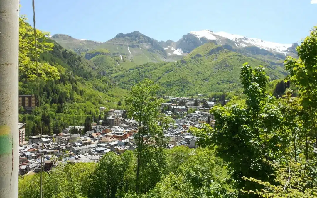
The upper Susa valley: Occitanie on the great Montgenèvre road
From Bardonecchia to Oulx, a valley that looks towards Briançon
La upper Val di Susa is probably the best place to start, as it immediately shows how much our contemporary borders can obscure the historical reading of the Alps.
From Turin, the motorway and railway line follow a wide valley up to Oulx, then they split. One branch reaches Bardonecchia and the Fréjus tunnel; the other climbs towards Cesana, Claviere and the Montgenèvre pass, behind which lies Briançon.
Today, crossing the border seems trivial.
For centuries, this high valley shared a close history with the Briançonnais region. Oulx belonged to the Dauphiné and formed one of the ancient EscartonsThis history predates the Treaty of Utrecht in 1713, which placed part of the eastern valleys under the authority of the House of Savoy. It also explains the long-standing presence of French and Occitan in a territory that later became Piedmontese and then Italian. The Piedmont Region still classifies many municipalities in the upper valley as having declared their affiliation with the Occitan minority under Law 482/1999.
The landscape has changed a lot with the railway, tunnels and winter sports resorts of Bardonecchia, Sauze d'Oulx or Sestriere. Yet, you only need to leave the main roads to find the stone hamlets, the old fountains, the chapels and the mule tracks that tell the story of a much older mountain.
Here, Occitan culture has also been superimposed on other influences: French, Franco-Provençal, Piedmontese, and then Italian. It is precisely this complexity that makes it interesting.
Val Chisone: from Pragelato to the plain, between Escartons and fortresses
A valley where history changes sides
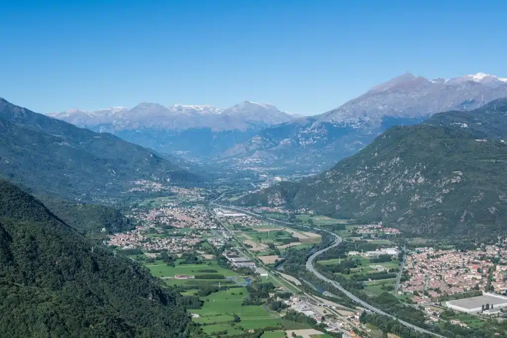
From Sestriere, the Val Chisone descends towards Pragelato then Fenestrelle before reaching Pinerolo and the Piedmont plain.
The upper valley fully belongs to the Occitan world. PragelatoThe town's identity is still strongly asserted today: it recalls its historical affiliation with the Dauphiné and then the Escartons, and preserves linguistic, architectural, and symbolic traces of this history. The village is made up of a constellation of hamlets nestled in a wide-open valley, where the meadows and larch forests take on extraordinary colors in the autumn.
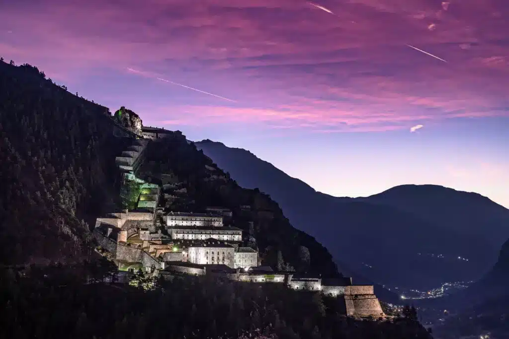
Then appears Windows.
Its gigantic fortress clinging to the mountainside starkly reveals that these valleys have not always been a peaceful space for cultural exchange. When the Treaty of Utrecht altered the border at the beginning of the 18th century, the House of Savoy transformed this newly acquired valley into a military stronghold against France.
This overlap is typical of the Piedmontese Occitan valleys: language and traditions cross the mountain, while states, on the contrary, build ramparts, barracks and forts to control the passages.
Val Germanasca: a discreet valley where Occitan meets Waldensian history
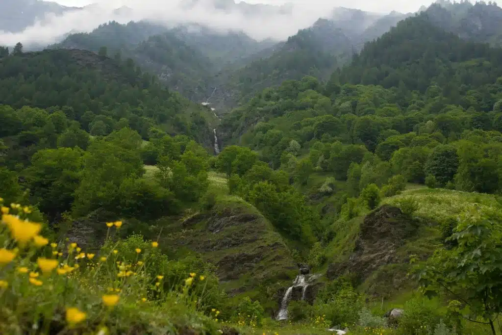
La Germanasca Valley It winds its way from the Chisone valley towards Perrero and Prali. Narrower and more secluded, it has a different atmosphere from the large tourist valleys nearby.
Here, Occitan identity is intertwined with another fundamental history of the Western Alps: that of the Vaudois.
As in the Pellice Valley In neighboring regions, Protestant communities have profoundly influenced religious, social, and cultural life. The historical use of French has been particularly significant there, notably in connection with the Reformed Churches, without causing the local Occitan dialects to disappear. Piedmontese sources emphasize precisely these overlaps: some municipalities have officially declared themselves to be both Occitan and French-speaking under minority rights legislation.
The villages stretch along the streams beneath particularly steep, wooded slopes. Higher up, around Prali, the landscape opens up towards alpine pastures and mountain passes leading directly to the French Queyras. Here again, the geographical boundary is much less clear-cut than the map suggests.
Val Pellice: an Occitan valley in the heart of the Vaud region
Torre Pellice, between Occitan language and Protestant memory
La Pellice Valley is probably one of the most culturally unique valleys in all of Piedmont.
It descends from the border mountains towards Torre Pellice and the Pinerolo plain. As one climbs back up towards Bobbio Pellice, the peaks become closer together and the passes joining the Queyras become increasingly obvious.
The Chambra d'Òc describes it both as an Occitan-speaking valley and as the historical cradle of the Vaudois presence, with a use of French closely associated with this religious tradition.
This coexistence is enough to demonstrate why we must abandon the simplistic idea "one valley = one language = one identity".
One can be Piedmontese, historically belong to the States of Savoy, live in a Waldensian community using French for certain purposes and speak locally an Occitan variety.
The landscape itself seems to announce this plurality: agricultural villages, temples and churches, deep forests, alpine pastures and high mountain passes make up a valley where contacts with the French side were constant.
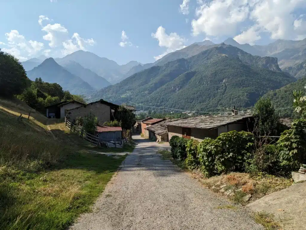
Valle Po: under the Monviso pyramid
Ostana, contemporary balcony of Occitan culture
From the Po Valley, we enter the great Occitan valleys of Cuneese.
And immediately one of the most iconic mountains in all of Alpine Occitanie appears: the Viso, an immense pyramid of 3,841 meters dominating the Piedmont plain.
Le river Po It originates beneath this mountain before descending towards Crissolo, Paesana, and Saluzzo. On its sunny slope, Ostana occupies a succession of small hamlets facing Monviso.
The village has become one of the contemporary symbols of the Occitan cultural revival. After a long period of depopulation, remarkable architectural restoration work has breathed new life into the old hamlets, while the Premio Ostana – Scritture in Lingua Madre It brings together authors writing in minority languages from all over the world. The Museo Civico Etnografico and the Ecomuseo dell'Architettura e del Paesaggio Alpino also tell of this desire not to transform tradition into a static backdrop, but to make it the basis of a contemporary mountain project.
In the meadows, the old houses are massive, built of stone and wood. Above, Monviso seems to occupy half the sky.
This is a landscape that perfectly explains why the Alpine Occitan culture is inseparable from a way of inhabiting the slope.
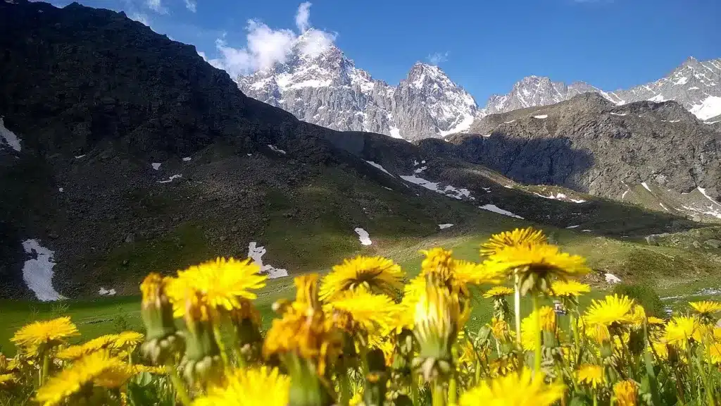
Valle Varaita: Chianale, Bellino and the passage of Col Agnel
La Varaita Valley is one of the most beautiful valleys of the Piedmontese Occitan arc.
From the Saluzzo plain, it winds its way towards Sampeyre, Casteldelfino, Bellino, and Pontechianale before branching off beneath the high mountains. At the very end, the road climbs towards the Agnel pass, at 2,744 meters, then drops towards the Queyras French.
This road encapsulates almost the entire history of the region. For much of the year, snow blocks the passage. In summer, a few kilometers are enough to connect two valleys that have shared traditions, pastoralism, migrations, and language for centuries.
The upper part of the valley retains several exceptional villages. Chianal It lines up stone houses, narrow passages and bridges in a high mountain setting. prettySundials remind us of the importance of measuring time in an agricultural society living to the rhythm of the sun, just like in the neighboring Queyras.
Between Sampeyre, Casteldelfino and Pontechianale lies the Bosco dell'Alevé, a vast forest of Swiss pine whose very name comes from the Occitan language. Visit Cuneese presents the valley as deeply linked to Occitan traditions, perceptible in the architecture, cuisine, festivals and know-how.
And then there are the ravioli, small elongated gnocchi which accompany festive meals and remind us that culture is also transmitted through cooking gestures.
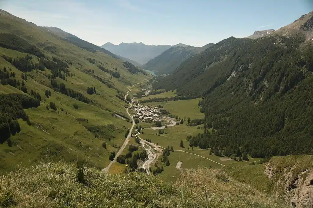
Valle Maira: one of the valleys where Occitanie is most strongly felt
Dronero, Elva and the paths of the old villages
If one had to choose a valley to immediately understand what "Piedmontese Occitanie" means, the Maira Valley would be an obvious candidate.
From DroneroA small village with a medieval feel, the road follows the Maira stream, gradually entering an increasingly wild mountain landscape. Villages cling to the slopes: Macra, Stroppo, Eleven, Prazzo, Acceglio. Everywhere hamlets appear, sometimes tiny, linked for centuries by ancient mule tracks.
The Occitan routesThe now-famous hiking route makes use of this very historical network. The route passes through villages where Romanesque and Gothic architecture bears witness to the period of the Marquisate of Saluzzo, while the Occitan language and traditions are still strongly emphasized.
À ElevenThe parish church preserves the extraordinary paintings by Hans Clemer, an artist active in the late 15th century in the Marquisate of Saluzzo. The frescoes seem almost incongruous in such an isolated hamlet and serve as a reminder that these valleys were by no means cut off from the major European artistic currents.
The valley also has an amazing tradition ofI anchoredThe anchovy merchants who left the mountains to sell their wares far from home. This culture of mobility once again brings the Alpine slopes closer to the Mediterranean world.
But the main place to understand contemporary Occitania is at the entrance to the valley.
À Dronero, the Occitan Space and its Museo Sòn de Lenga offer a journey dedicated to the language, literature, music, history and material life of the Occitan community.
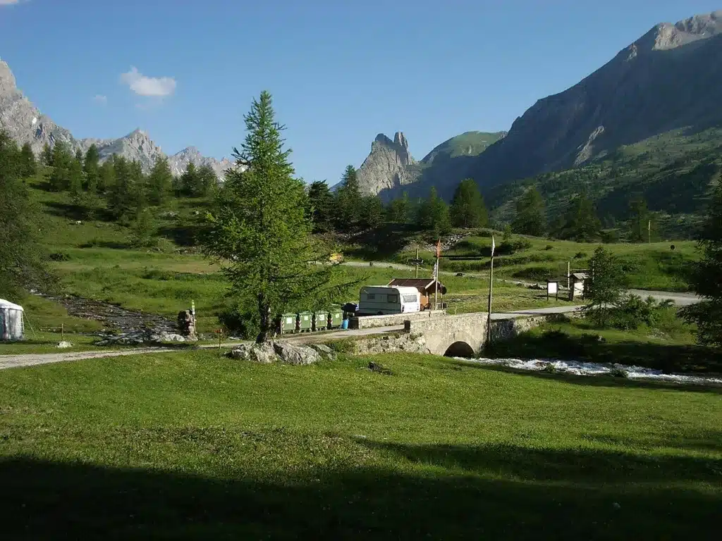
Valle Grana: alpine pastures, sanctuary and Castelmagno cheese
La Valle Grana is much shorter than the Maira or the Stura and that is precisely what makes it so charming.
From Caraglio, the road goes back up towards Pradleves then Castelmagno, before ending in a vast cirque of alpine pastures dominated by the San Magno sanctuary, located approximately 1 meters above sea level.
Here, Occitan culture is first and foremost evident in the pastoral landscape.
The herds still move up to the pastures during the summer. The milk produced at high altitude gives rise to the famous Castelmagno PDO, a powerful cheese whose name has become more famous than that of the valley itself.
The villages are small, the slopes are very present and communications with the Valle Maira to the north or the Valle Stura to the south have long used paths and high-altitude passes rather than the plain.
The language, too, retains its particularities. Dialectal studies of the Chambra d'Òc show how Occitan variants can change from one valley to another without ceasing to belong to the same linguistic group.
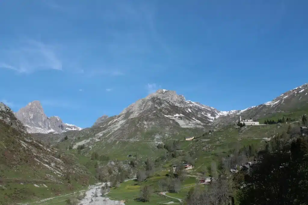
Valle Stura: the main road to the Larche pass
Demonte, Vinadio and the passes towards the Ubaye
La Valle Stura di Demonte is very different. Longer and more open, it has always been a major thoroughfare to the French Alps. The road climbs from Borgo San Dalmazzo towards Demonte, Vinadio, and Argentera before reaching the Col de Larche / Colle della Maddalena, which swings towards the Ubaye.
History Demonte This highlights the long history of these exchanges: the site was already a thoroughfare in Roman times, and the House of Savoy subsequently developed an important military function there. vinadioThe gigantic Albertino fort still serves as a reminder of the strategic role of the valley.
But behind the military history unfolds a deeply Occitan mountain culture.
The long hiking route Lou Viage — “the journey” in Occitan — covers 236 kilometers through the fourteen communes of the valley. Its very name shows how much the language is now used as a living marker of the territory and not simply as a scholarly curiosity.
Higher up, the landscapes become austere and luminous, dominated by the Maritime Alps and the border peaks. The road to France seems almost obvious. And it is precisely this constant proximity to theUbaye and the French Occitan world which explains the cultural continuity of the valley.
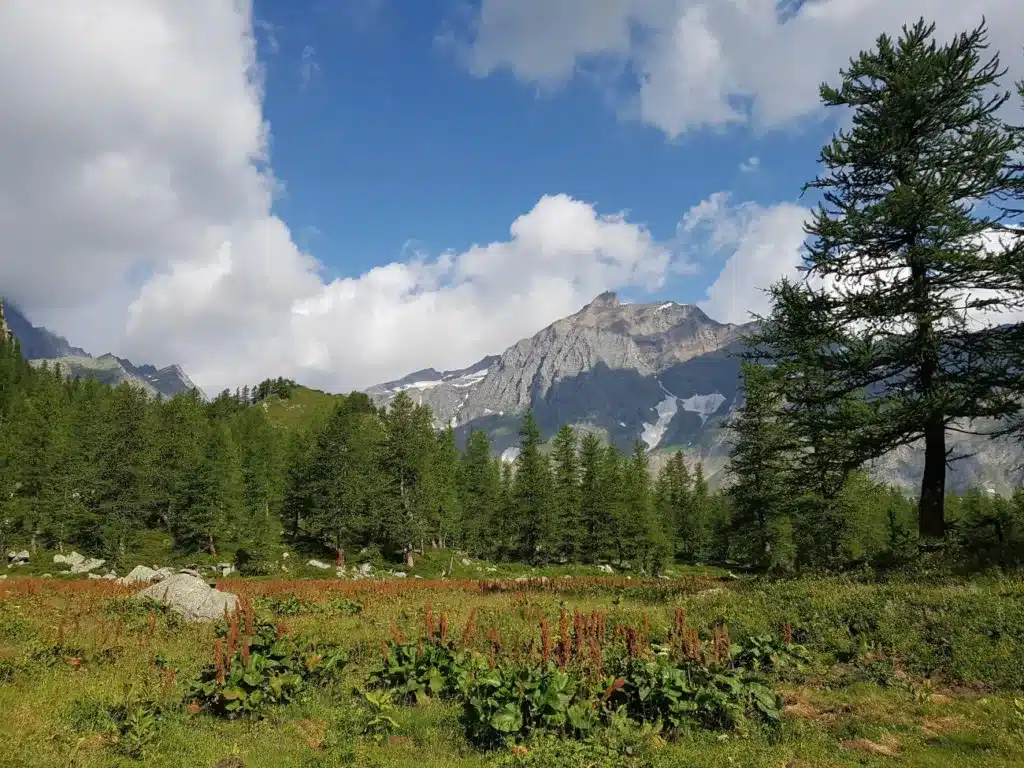
Valle Gesso: Occitanie at the gateway to the Maritime Alps
La Gesso Valley it extends southwest of Cuneo towards Valdieri and Entracque.
The landscape changes again. The peaks become more massive, the side valleys wilder, and the high mountains now fully belong to the massif of Alpes-MaritimesA large part of the territory is protected by the Aree Protette Alpi Marittime.
Around The EntranceStone houses huddle at the foot of spectacular mountains. Higher up, the Valasco valley leads to the former hunting lodge of the Savoyard sovereigns and to high-altitude lakes. The historical Savoyard presence is therefore very visible. And yet, this has never transformed the local language into a "Savoyard" language.
This valley allows us to understand the essential principle of the entire article: A dynasty can administer a territory without erasing the linguistic culture that preceded it..
Linguistic studies by Chambra d'Òc classify Valle Gesso among the high southern valleys where certain ancient characteristics of Alpine Occitan have been particularly well preserved.
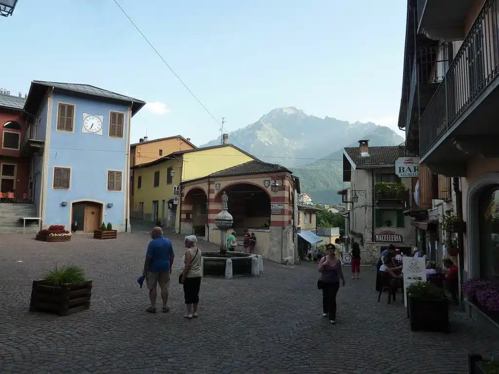
Valle Vermenagna: from Cuneo to Col de Tende
La Valle Vermenagna follows one of the other major historical passages between Piedmont and the Mediterranean.
From Borgo San Dalmazzo, it goes up towards Vernante and Limone Piemonte, before reaching the Col de Tende and the Roya Valley in the French Maritime Alps.
The landscape is already more southern. The Alps seem to open up towards the sea while Ligurian and Provençal influences become more perceptible. Vernante is known for its murals dedicated to Pinocchio, While Lemon has become an important mountain resort. But beneath this tourist activity remains an old transport route linking Turin and Cuneo to Nice.
Regional heritage inventories highlight the importance of the Col de Tende road, long considered one of the major royal roads. between Piedmont and the Mediterranean.
The Occitan language is situated here in an extremely complex transitional space where Piedmontese, Ligurian, Provençal, and Alpine influences converge. This is the southern boundary where Piedmontese Occitania almost begins to face the sea.
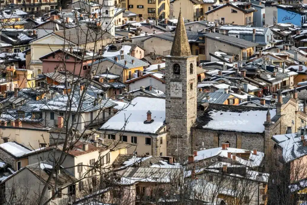
The valleys of Monregalese: the southern fringe of Piedmontese Occitania
Southeast of Cuneo, the Valli Monregalesi form a much more fragmented whole.
From the plain of MondoviSeveral valleys fan out towards the Ligurian Alps: Ellero, Corsaglia, Maudagna and the neighboring valleys. The landscape is less uniformly alpine than in the Maira or the Varaita: forests, pastures, limestone hills and caves follow one another while the influence of Liguria becomes perceptible.
The Monregal valleys are aptly described as an "open hand" with several main valleys extending towards the mountains.
The Occitan presence is more diffuse there, and the linguistic areas are sometimes more difficult to define precisely. Yet, it is here that the easternmost part of the Piedmontese Occitan valleys is traditionally located in the classification of the Chambra d'Òc.
This marginal character is fascinating. A language almost never stops at the last village like a color on a map. It dilutes, blends, borrows words from neighboring dialects. The Valli Monregalesi remind us that Occitania is first and foremost a cultural continuum, not a political border.
Italian valleys that also look towards Occitania
Browse the twelve Occitan valleys of PiedmontUltimately, it's about discovering that the Alps are less divisive than one might imagine. From Montgenèvre to the Ligurian Alps, each valley possesses its own landscape, its own history, and its own particular way of preserving this heritage, sometimes very much alive, sometimes more discreet. But they all tell the same story: borders have changed faster than cultures.
Although Italian today and deeply rooted in Piedmont, these valleys still look towards the mountain passes that connect them to the Queyras, the Ubaye, and the Briançonnais. One only needs to follow their roads to the last villages to understand that Alpine Occitania is not just a matter of language: it is still evident in the houses, the festivals, the paths, the landscapes, and that old mountain custom of seeing the pass not as a border, but as a gateway.
Photo Credits:
Fenestrelle: Domeian, CC BY-SA 4.0 , via Wikimedia Commons // https://upload.wikimedia.org/wikipedia/commons/3/38/Fenestrelle_-_Forte_di_Fenestrelle_-_2023-09-27_23-06-00_001.jpg?utm_source=commons.wikimedia.org&utm_campaign=index&utm_content=original

Upper Valsusa (towards Bardonecchia): Franco56, CC BY-SA 3.0 , via Wikimedia Commons // https://upload.wikimedia.org/wikipedia/commons/3/3b/Alta_val_di_Susa.JPG?utm_source=commons.wikimedia.org&utm_campaign=index&utm_content=original

Perlà in Val Pellice: Ivan Ruggiero, CC BY-SA 4.0 , via Wikimedia Commons // https://upload.wikimedia.org/wikipedia/commons/9/9b/Perl%C3%A0.jpg?utm_source=commons.wikimedia.org&utm_campaign=index&utm_content=original

Val Germanasca nature: Tolmachova1981, CC BY-SA 4.0 , via Wikimedia Commons // https://upload.wikimedia.org/wikipedia/commons/d/dd/Prali%2C_Val_Germanasca%2C_Piemonte.jpg?utm_source=commons.wikimedia.org&utm_campaign=index&utm_content=original

Pian della Regina: Elena cischino, CC BY-SA 4.0 , via Wikimedia Commons // https://upload.wikimedia.org/wikipedia/commons/7/70/Tripudio_di_tarassaco_a_Pian_della_Regina.jpg?utm_source=commons.wikimedia.org&utm_campaign=index&utm_content=original

Paesana and Monviso
Supermferdi, CC BY-SA 3.0 , via Wikimedia Commons // https://upload.wikimedia.org/wikipedia/commons/9/92/Il_Monviso_visto_da_via_Crissolo_a_Paesana.JPG?utm_source=commons.wikimedia.org&utm_campaign=index&utm_content=original

Castelmagno: Marco Plassio, Wikimedia Commons, casalpinaceva.it, CC BY-SA 3.0 , via Wikimedia Commons // https://upload.wikimedia.org/wikipedia/commons/f/f4/Castelmagno-S.MagnoReina.jpg?utm_source=commons.wikimedia.org&utm_campaign=index&utm_content=original

Chiappera: paebi, CC BY-SA 4.0 , via Wikimedia Commons // https://upload.wikimedia.org/wikipedia/commons/7/7e/Chiappera04.jpg?utm_source=commons.wikimedia.org&utm_campaign=index&utm_content=original

Pontechianale and Val Varaita: Gabygaiffe, CC BY 3.0 , via Wikimedia Commons // https://upload.wikimedia.org/wikipedia/commons/5/5f/Chianale_%28Pontechianale%29.jpg?utm_source=commons.wikimedia.org&utm_campaign=index&utm_content=original

Uja di Ciamarella: Erik Orlandi, CC BY-SA 4.0 via Wikimedia Commons// https://upload.wikimedia.org/wikipedia/commons/a/ae/Valle_di_Ala_di_Stura_%2C_Uja_Ciamarella_da_Pian_Saulera.jpg?utm_source=commons.wikimedia.org&utm_campaign=index&utm_content=original

Entracque: André Payan-Passeron, CC BY-SA 3.0 , via Wikimedia Commons // https://upload.wikimedia.org/wikipedia/commons/2/20/Edifici_e_chiesa_di_Sant%27Antonino_Martire%2C_Entracque%2C_Italia.jpg?utm_source=commons.wikimedia.org&utm_campaign=index&utm_content=original

Entracque village: André Payan-Passeron, CC BY-SA 3.0 , via Wikimedia Commons // https://upload.wikimedia.org/wikipedia/commons/f/f8/Entracque100%283%29.JPG?utm_source=commons.wikimedia.org&utm_campaign=index&utm_content=original

Limone center: WikiEgo7, CC BY-SA 4.0 , via Wikimedia Commons // https://upload.wikimedia.org/wikipedia/commons/f/f8/Limone_Piemonte_-_Comune_di_Limone_Piemonte_-_2024-09-13_18-42-45_001.jpg?utm_source=commons.wikimedia.org&utm_campaign=index&utm_content=original

Limone panorama: Stefano59Rivara, CC BY-SA 3.0 via Wikimedia Commons// https://upload.wikimedia.org/wikipedia/commons/2/22/Limone_dall%27alto.JPG?utm_source=commons.wikimedia.org&utm_campaign=index&utm_content=original

You might also be interested in these articles:
From the Écrins mountains to Piedmont, following in the footsteps of the Waldensians, reformers of the Alps
Trace the journey of the Waldensians, a reformed religious community, through the Alps between Hautes-Alpes and Piedmont, between history, heritage and unmissable landscapes.

Escartons: a cross-border territory in the Alps between Dauphiné and Piedmont
What is the territory of the Escartons? During a visit to the Piedmontese Alps, the Queyras or the Briançonnais, discover the amazing history of these autonomous alpine communities.
Why are there Occitan Valleys in Piedmont, Italy?
Discover the Occitan Valleys in the Piedmont Alps. Where culture transcends time and borders, enriching your travels or hikes.
Around Monte Rosa, the land of the Walser
Discover the history and Walser heritage in the valleys around Monte Rosa. Between Valais, Aosta Valley and Piedmont, a common thread unites these highlands at the foot of the glaciers.

What to do at Lake Orta, a romantic gem near Lake Maggiore?
What to do at Lake Orta? Visit Orta San Giulio, San Giulio Island, Sacro Monte, Omegna, the most beautiful panoramas, hikes and access points near Lake Maggiore.

The most beautiful villages around Stresa, on the shores of Lake Maggiore
Explore the most beautiful villages around Stresa: Baveno, Belgirate, Verbania, Pallanza, Mottarone and the Borromean Islands along Lake Maggiore.

The Borromean Islands: Discover the jewels of Lake Maggiore
Visit the Borromean Islands: Isola Bella, Isola Madre and Isola dei Pescatori. History, palaces, gardens, access, tips and panoramas of Lake Maggiore.

What to do in Stresa? Discover the elegant pearl of Lake Maggiore
Discover Stresa, the most elegant resort on Lake Maggiore: stroll along the shores, Belle Époque villas, gardens, panoramas, Mottarone and the Italian dolce vita.

My articles on the heritage and history of the Alps
Find here all the articles I have written on the history of the Alps and the House of Savoy on the media “Nos Alpes”
Three major passes in the Southern Alps: Larche, Lombarde and Bonette
Explore this high-altitude route between Ubaye, Piedmont and Tinée: Mexican villas, sanctuaries and wild passes.
Itinerary in the Alps between France and Italy: Mont Cenis and Montgenèvre passes
Between Mont-Cenis and Montgenèvre, follow a thousand-year-old road between strategic passes, forgotten forts and Alpine towns steeped in history.
Discover the Piedmont Alps near Turin
From Turin, set off to visit Piedmont, a region rich in heritage, magnificent alpine landscapes and gastronomy.
Italian Alps: wild nature and exceptional villages
Large lakes, glaciers, typical villages and refined gastronomy make the charm of the Italian Alps

How to choose among the Lakes of Northern Italy?
La Dolce Vita in the mountains. The Mediterranean in the Alps.
AlpAddict knows all the secrets of these jewels.
The Alps of Piedmont, Aosta Valley and Lombardy
AlpAddict lets you discover the beauties of the Piedmont Alps, the Aosta Valley and Lombardy, between mountains and gastronomy.